

Honister Crag [Black Star]
Good walks are even better shared.
NY2114 : Honister Pass
Malcolm Sandilands Photo source
Overview
Honister Crag [Black Star]
Introduction
Nestled within the breathtaking landscapes of the Lake District, Honister Crag, more affectionately known as Black Star, offers both challenging trails and stunning vistas. At an elevation of 490 meters, it beckons hikers to embrace its rocky beauty.
Geology
Honister Crag is a showcase of Slate and Volcanic rock, offering a glimpse into the geological past that has shaped the Lake District. These materials not only create spectacular views but are also home to unique wildlife habitats.
Routes
Honister Slate Mine to Summit
- Distance: 4.5 km
- Time: Approximately 2 hours
- Difficulty: Moderate
This well-travelled route begins at the Honister Slate Mine, where the slate mining heritage adds to the adventure. As you ascend, relish the vibrant greenery and rocky outcrops that define the landscape.
Summit Features
Upon reaching the top, you'll be greeted by a small cairn. Perfect for a photo op; a selfie here is almost mandatory! Let your friends know you've conquered a peak!
Terrain Type
Expect a rugged mix of rocky surfaces and grassy patches. Balance is key, and scrambles might challenge your footwork, so keep your hiking boots laced up and game face on!
Views
The summit offers unforgettable views of iconic landmarks like Great Gable and the Buttermere Valley. The best times to enjoy these sights are in spring and autumn, where the weather is likely to be clearer and the crowds thinner.
Hazards
Stay cautious; the terrain can be tricky! Watch for loose scree and be mindful of sudden weather changes that the Lake District is notorious for. Keep a safe distance from any steep drops.
Nearby Summits
If you're feeling adventurous, nearby peaks like Great Gable (899m) and Green Gable (801m) await, providing even more options to explore.
Access
Nearest Parking
The Honister Slate Mine car park is your best bet, though it does come with a small fee—an easy price to pay for the convenience (and the delights of the mine!).
Public Transport
There’s a bus service from Keswick, making it easy to get to the starting point without needing a vehicle.
Nearest Town
The bustling town of Keswick is nearby, offering plenty of amenities before and after your hike.
Facilities
At the Honister Slate Mine, you’ll find toilets and a charming café, which is perfect for refuelling with homemade cakes and hot beverages after your hike.
History
Name Meaning
The name 'Honister' has Norse roots, meaning 'hill of the deer,' while 'Crag' aptly describes its rocky formation.
Significance
This area has a rich history of slate mining, contributing to the region’s economy and aesthetic. Visiting Honister gives you a slice of both nature and local tradition.
Conclusion
Whether you are a seasoned walker or a casual hiker, Honister Crag is a gem waiting to be explored. Kick off your boots, take a deep breath, and soak in the natural beauty that is uniquely Lake District.
So, pack your bag, bring your sense of adventure, and head to Honister Crag. It’s not just a hike; it’s an experience you won’t soon forget!
Explore routes near Honister Crag [Black Star]
Walks starting near this hill. Open a route to check its map, distance and full itinerary.
Scafell Pike from Seathwaite via the Corridor Route
View route
Scafell Pike via Brown Tongue and Hollow Stones
View route
Whinlatter dark skies walk
View route
Whinlatter dark skies walk
View route
Route planning notes
These notes describe possible approaches. Check a route's map and access information when planning your walk.
Honister Slate Mine to Summit
A direct ascent from the famous Honister Slate Mine, offering stunning views along the way. This route is well-trodden and leads through varied terrain.
Make a day of it, together
Find someone to share the walk with, or organise a day out along a route you like.
Photo Gallery
View all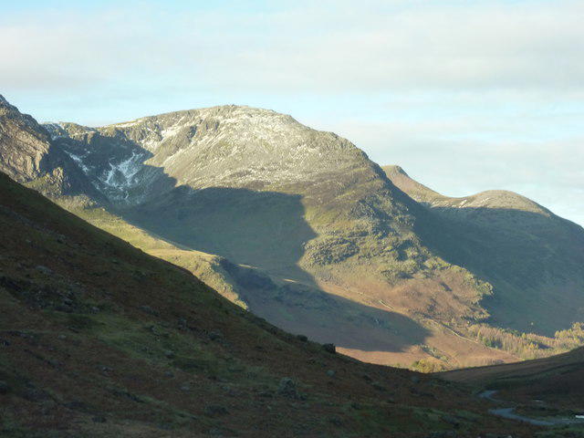 Photo could not load
NY2114 : Honister Pass
Malcolm Sandilands
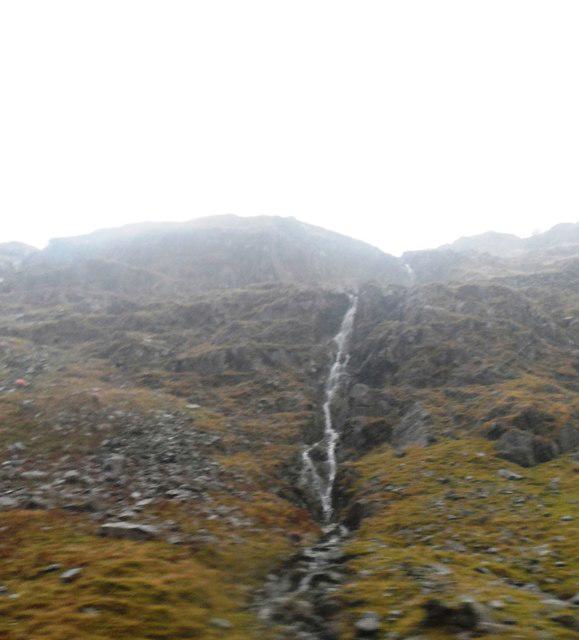 Photo could not load
NY2114 : Waterfall from Honister Crag
Anthony Parkes
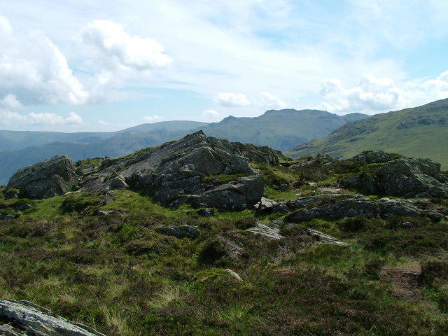 Photo could not load
NY2114 : The top of Honister Crag
David Brown
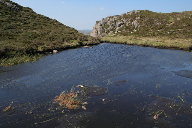 Photo could not load
NY2114 : Tarn, Black Star
Mark Anderson
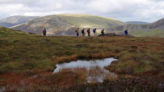 Photo could not load
NY2114 : On Fleetwith Pike
Ian Taylor
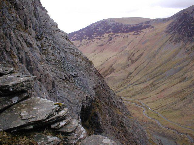 Photo could not load
NY2114 : Honister Crag
Mick Garratt
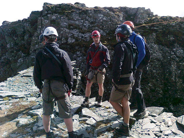 Photo could not load
NY2114 : Summit of Honister Crag
Martyn Ayre
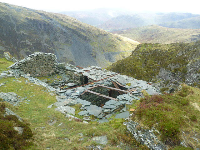 Photo could not load
NY2114 : Hut under Black Star
Michael Graham
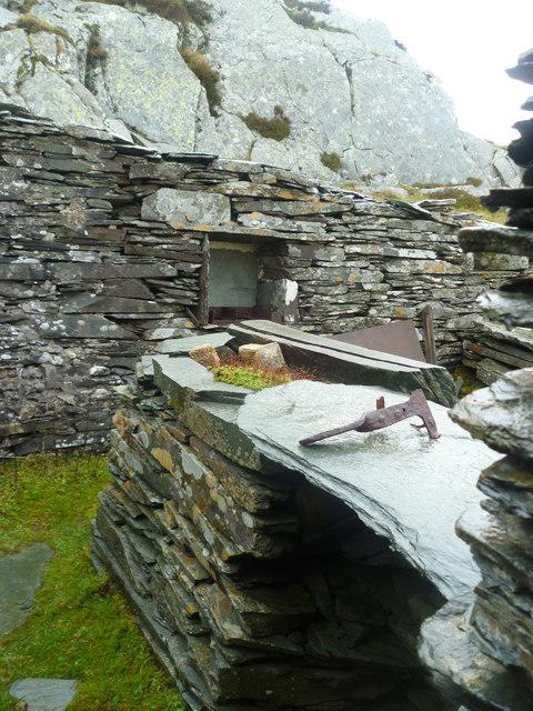 Photo could not load
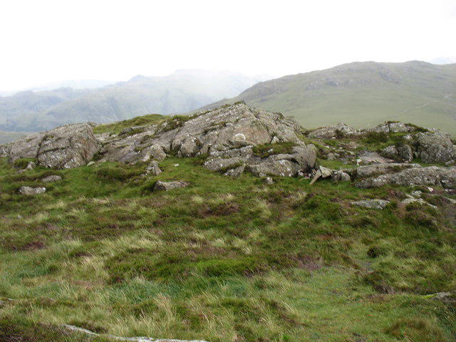
NY2114 : Sheltering in the Hut
Michael Graham
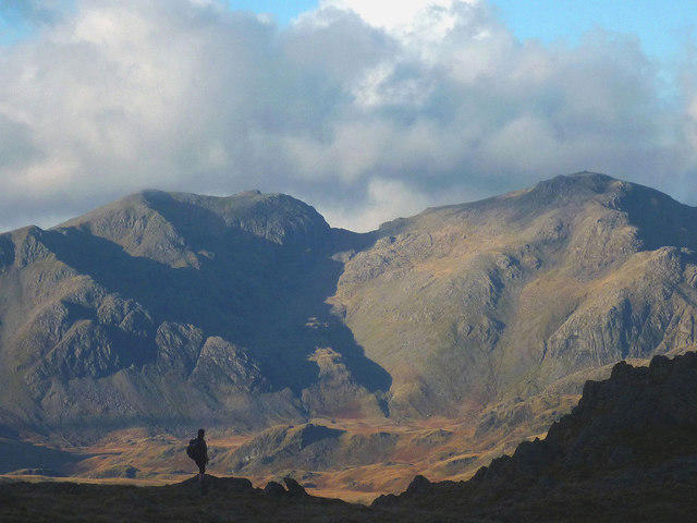
NY2114 : Looking SSW from the summit of Honister Crag
David Purchase
Hill facts and local notes
Classifications
Elevation
634m
2,080 ft
Prominence
21m
Coordinates
54.5165, -3.2181
NY212141
OS Map
89 90
Explorer: OL4S
At the Summit
The summit features a rocky outcrop with a small cairn. Make sure to take a selfie here, as your friends will surely want proof that you made it!
Terrain & Geology
Predominantly slate with some volcanic rock, typical of the Lake District's complex geological history, which provides a diverse habitat for wildlife.
Views & Scenery
Spectacular views of Great Gable, the Buttermere Valley, and the surrounding fells.
History & Heritage
Name Origin
The name 'Honister' is derived from Old Norse, meaning 'the hill of the deer', while 'Crag' indicates rocky cliffs.
Historical Significance
The area has a rich mining history, particularly renowned for its slate quarrying, which shaped the local economy for centuries.
Getting There & Facilities
Parking
Honister Slate Mine car park, with a small fee but it gives you a great excuse to visit the mine's shop.
Public Transport
Bus service from Keswick to the Honister Slate Mine.
Nearby Facilities
The Honister Slate Mine Visitor Centre offers toilet facilities and a café serving delicious homemade cakes and hot drinks.
Safety Information
Known Hazards
- Loose scree on some routes, sudden weather changes, and steep drops near the summit.
General Safety Tips
- Check weather conditions before setting out
- Carry appropriate clothing and equipment
- Let someone know your planned route
- Take a map, compass, and GPS device
- Carry emergency supplies: food, water, first aid kit, torch
Hills
Some common questions about the hills answered
Are there group walks up Honister Crag [Black Star]?
Many walkers use Walkmates to join or organise walks with others. You can check for group walks around Honister Crag [Black Star] through the maps
Are there other walkers around Honister Crag [Black Star]?
Activity varies by location and time, but Walkmates lets you see whether others have shared walks or shown interest in this area. Find other people through the walking friends search walking friends for Honister Crag [Black Star] search or of course create your own walk for Honister Crag [Black Star]
Can I organise a walk to Honister Crag [Black Star]?
Yes. If there aren’t any walks listed already, you can create a walk and make it available for others to join.
If you're signed up to Walkmates, you can create a walk to Honister Crag [Black Star].
How do I find a walk up this hill?
There are often multiple ways to walk this hill, depending on experience and route preference. Walkmates helps you explore walks and routes that others have shared.
Can I suggest a new route up Honister Crag [Black Star]?
Yes. You can suggest or create routes to share with others. Walkmates focuses on the social side of walking, so routes are used to help people organise walks and explore areas together, rather than as detailed navigation tools or route libraries.
Other uses really appreciate knowledgeable walkers sharing their routes. Share your favourite route to Honister Crag [Black Star] here
The is an error or something incorrect about this hill. How do I let you know?
We always strive to keep the information on Walkmates as accurate as possible. If you find an error, please let us know through the contact form and we'll aim to correct it as quickly as possible
Community Discussion
Comments
Location
![Honister Crag [Black Star] location map](https://cdn.walkmates.com/hill-maps/hill-sources/3320/54.51654_-3.21806.png)
Grid reference: NY212141
View on OpenStreetMapOpens a map in a new tab, centred on the hill.

No comments yet. Be the first.